Viewranger mapping app
Today, I’m going to be using Viewranger route tracking app for Android.
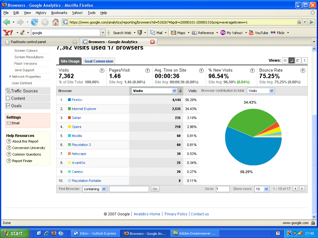
Due to the limitations of Googlemaps, I’m going to find something which will store and record the routes that I’ve taken, does the maths, and plot the graph for me.
Maps has a limit for the online version. I can only add a certain amount of content before it tells me I’ve exceeded the given number of separate additions to the one map.
So, I’m trying something new, and tonight’s map will be done with Viewranger, (hopefully).
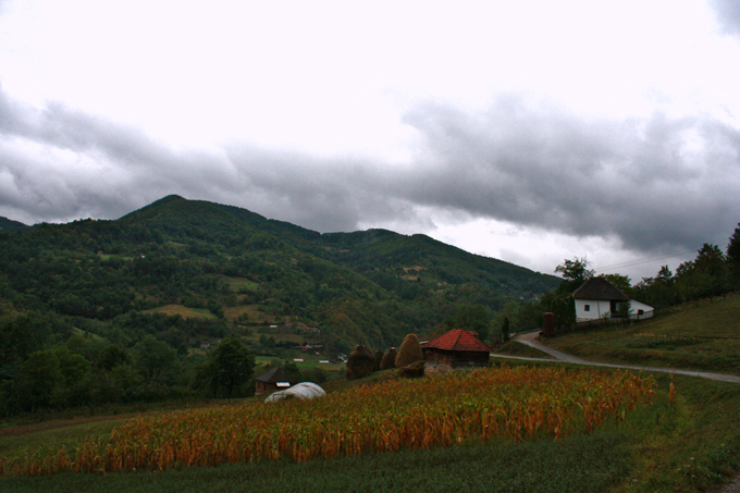
 Tara National Park – Make me a rainbow
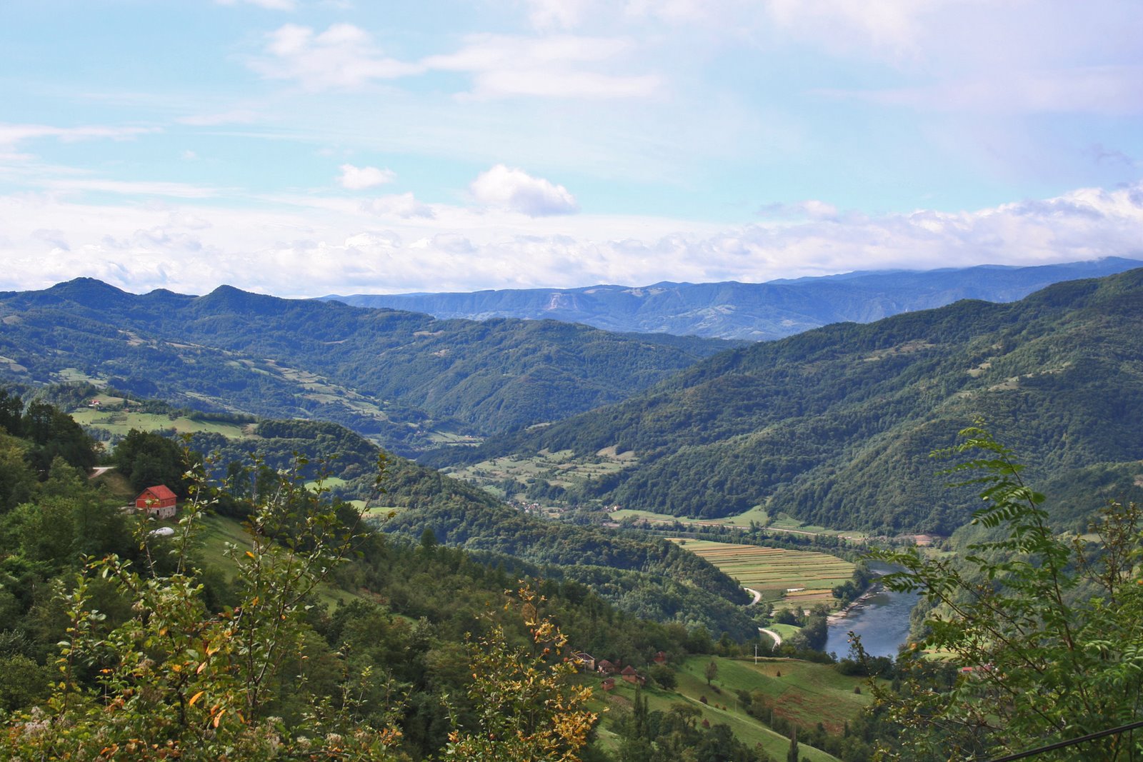 Tara National Park – Earth Meets Sky
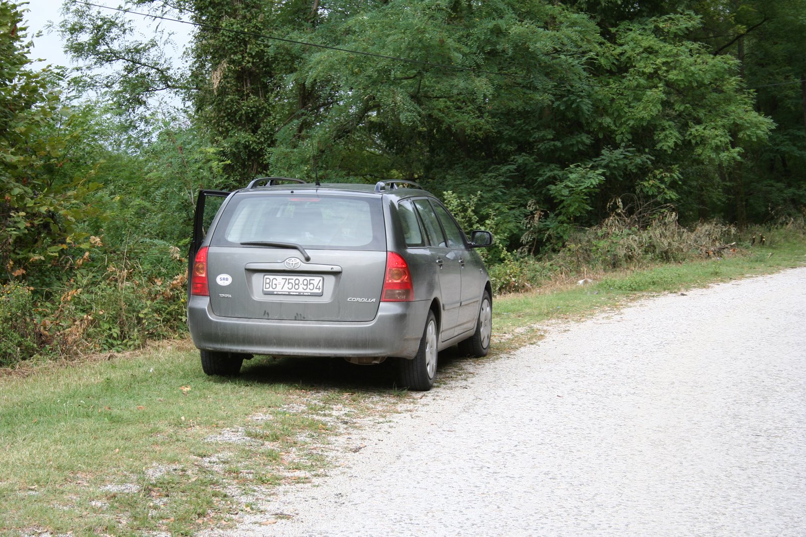 My Car
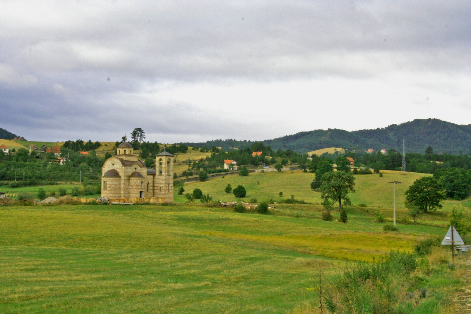 Lonely Church – Tara National Park Serbia
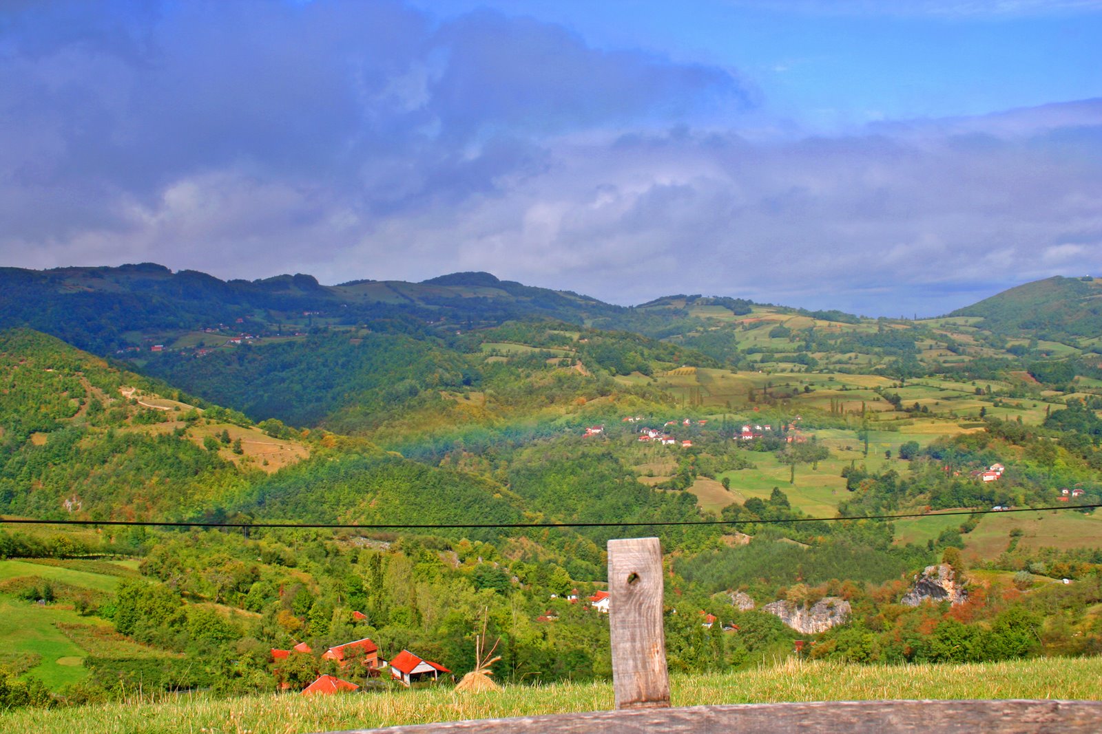
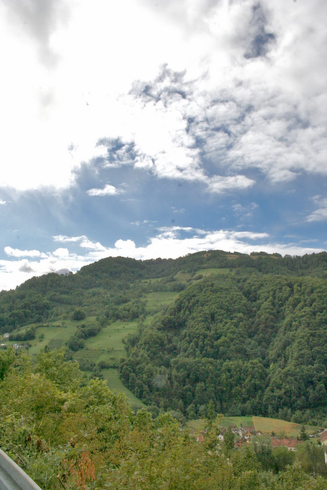 Where earth meets sky – Tara National Park Serbia
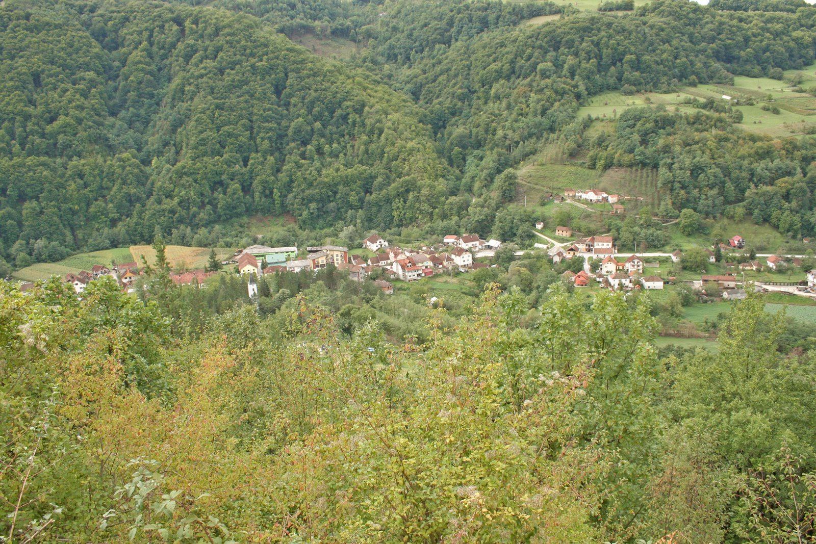 Earth – Tara National Park – Serbia