Day 27 – Crooke to Plank Lane

Crooke
Starting point

Plank Lane bridge is still closed.

That means it’s not operational. As the Canal and River Trust website tells me, it’s still only open every day once, at 2pm.

Wigan Locks

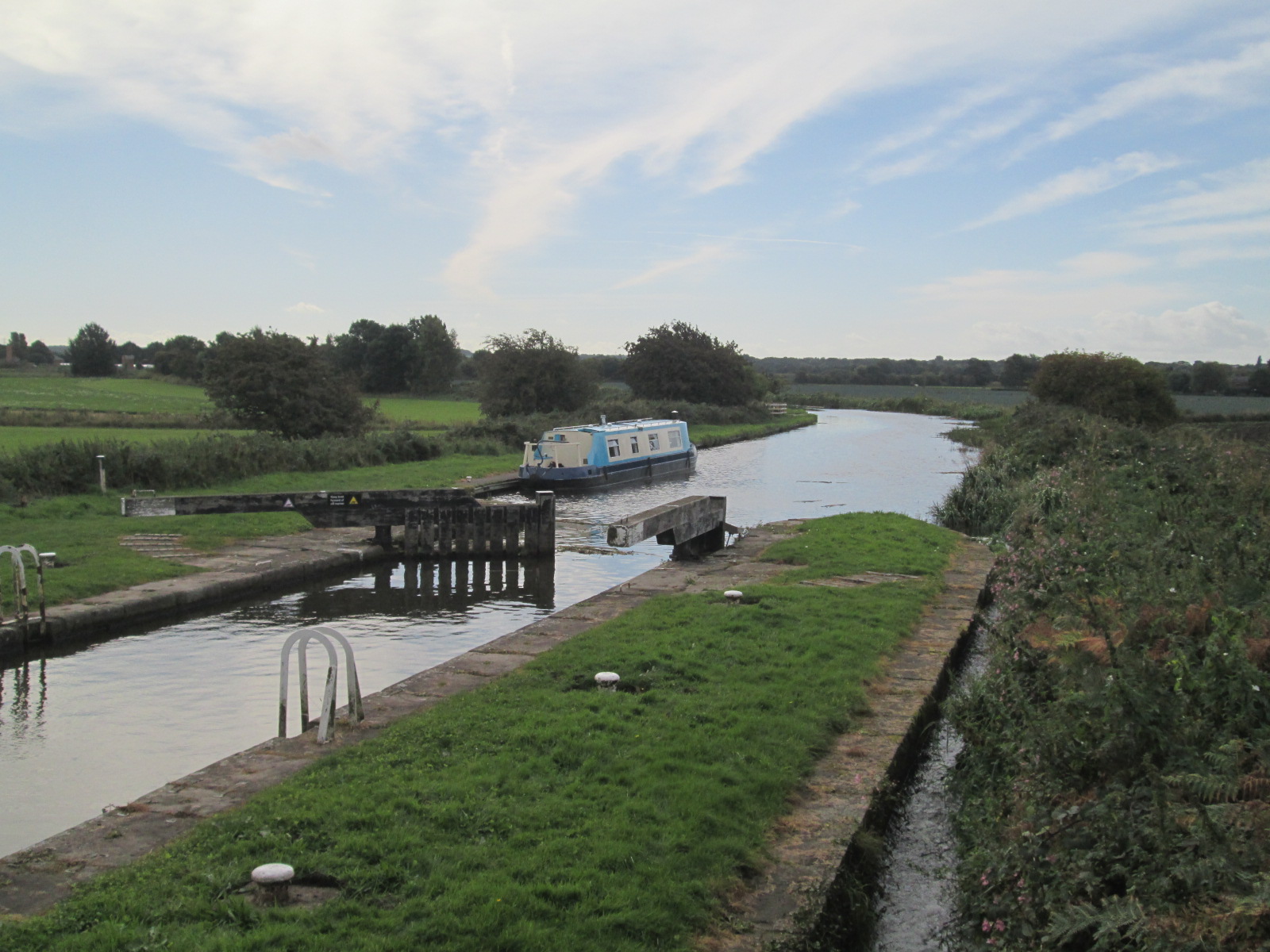
I make my way through Wigan Locks.

Stop at Asda superstore to do some much needed shopping, then finish off the locks.

Don’t meet any boats on the way through.

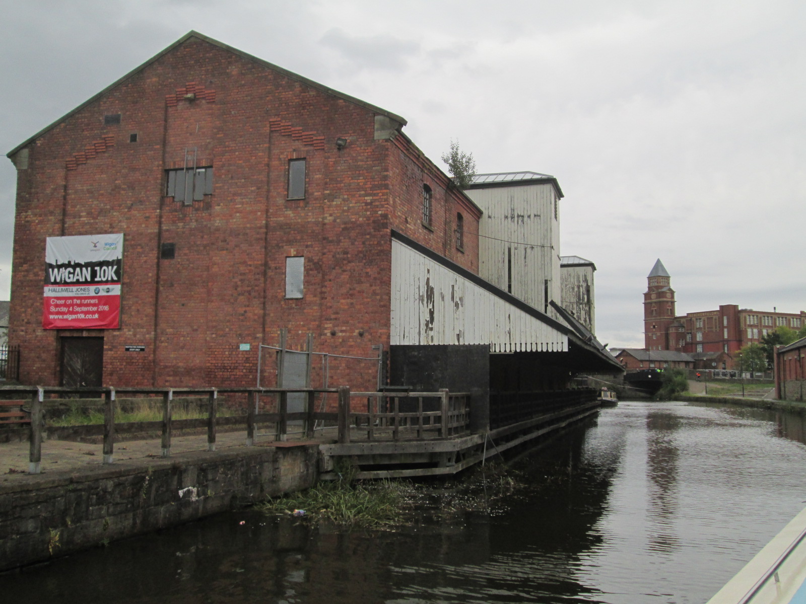
Wigan pier

Site of industrial commerce and activity, the pier now lays derelict. The only patrons making use of it being the pigeons. Continue reading “Day 27 – Crooke to Plank Lane”

Day 25 – Morecambe to Rufford – 1,000th post eva!

******#1,00o post!******

“Piece of cake…” as my host said to me this morning. Turned out to be true. And thanks to Trevelyan House for the breakfast, and the service, all very good.

Didn’t do much around Morecambe.

When I was thinking walking around town, “what is it that Morecambe really needs”, and the answer is a timewarp machine. The good times have passed. It’s as simple as that.

People still pose beside the statue of Eric Morecambe on the seafront, but when that is gone. What have they got?

Trevelyan Guest House

Got woken up by the fire alarm at 11pm. Thought about going down the pub….

It went off. Being a Tuesday, most people would have called it a night anyhow, so I went back to sleep.

Hauled ass at around 8am, which is the time they start breakfast, which turned out to be a high quality affair for the £33 all in that I paid for the accommodation, breakfast, et al.

Seems that Morecambe itself was the only downfall of the stay. Continue reading “Day 25 – Morecambe to Rufford – 1,000th post eva!”

Day 24 – Durham to Hawes

Strava tells me it’s 4,000 ft plus climb day, and at the end of it, I can believe it. My muscles are full of lactic acid and I can hardly stand up by the time I reach my accommodation.

It’s taken me into the heart of the Pennines.

Rather than take the shorter Googlemaps route over the A66, which is a busy main road, I went down the ‘Pennine Way’, which is a designated cycle route through the valleys and dales.

I don’t regret it.

There are a million things to recommend taking a cycle route over a main road as a cyclist.

Tan Hill

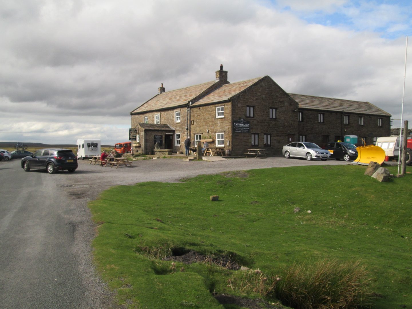
On my way, I pass the highest Inn in the England. Tan Inn is at 1,725 ft. I stop for a drink, then continue down into the valley.

The highest pub in England

It really is alone. I’ve reached it by coming up a gravel track off the main road, which I runs parallel to the trail for a short period.

I can see all the trucks and artics passing and feel glad that I took the longer route.

If you look at the Strava, this is one of the steepest climbs today.

But it pales in insignificance compared to the Oxnop…

Continue reading “Day 24 – Durham to Hawes”

Day 11 – Tarleton to St. Mary’s Marina, Rufford

Only a very short journey today.

Due to time constraints on travel over the Ribble, I’ve decided not to wait 10 days for the next crossing, and make my way to Scotland tomorrow.

From there I will be Bonnyless.

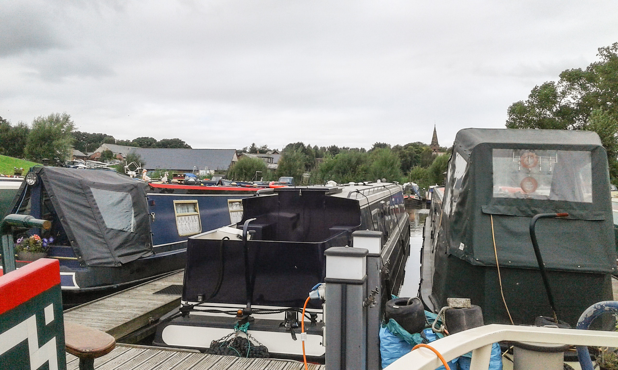
St. Mary’s Marina, Rufford

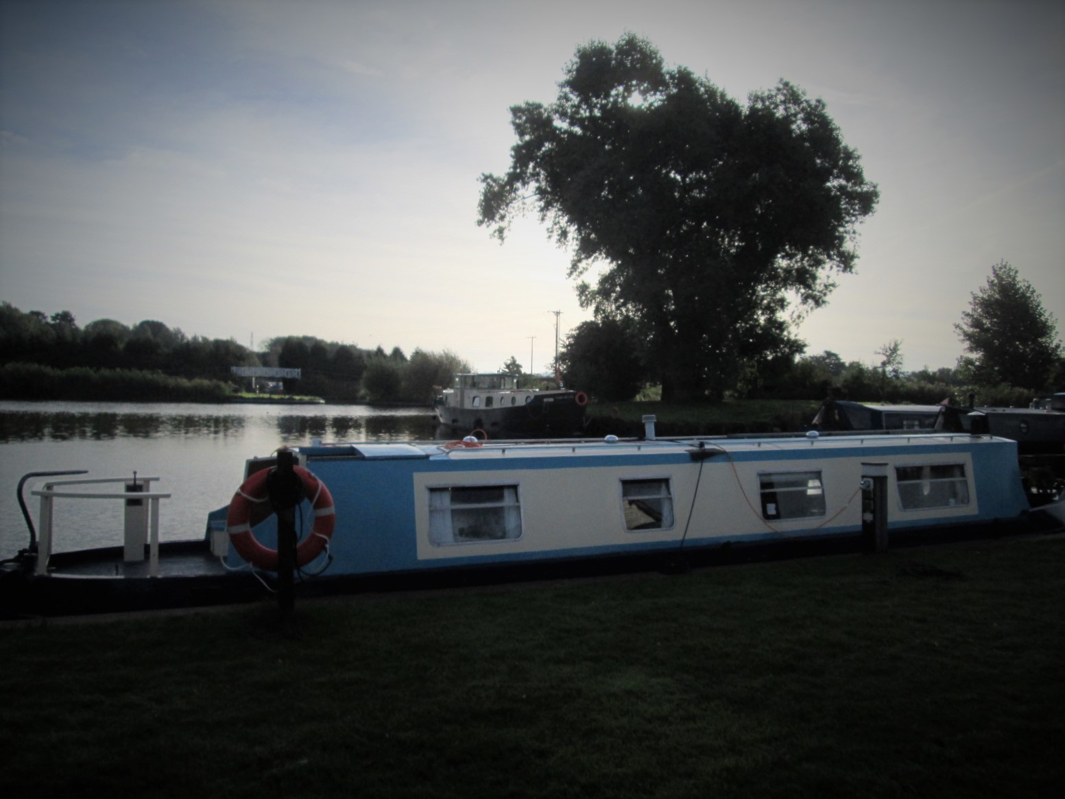
I’m parked at St. Mary’s Marina with Mark Ball who seems like an affable fellow.

It’s got a few mod-cons like electric, which means I can watch more telly and use the microwave.

The trip is only a very simple one. From Tarleton, you have to negotiate the 3 swing bridges, follow the river. That’s about it.

The marina is directly before the lock, opposite to another, competing marina.

I did get a look in both. I know my locking partner on the way up planned to leave her boat here. Also, it was the first one I visited. I know the other is slightly more upmarket, if that’s what you’re after.

Trip to Scotland

Today has been busy booking accommodation for my first few days in Scotland.

The weather up there is over 15 for the duration of my stay, even rising to around 20.

I’m quite looking forward to it, because I’ve got no idea what to expect.

The road to Inverness

I know the first few days will be fairly easy.

From now on, I’m going to be using Strava to track my progress and making timelapse video.

From now on, my maps will look like this.

It’s roughly a 500 mile journey back down to the boat.