Browsed by
Category: googlemaps

Viewranger mapping app

Viewranger mapping app

Today, I’m going to be using Viewranger route tracking app for Android.

Due to the limitations of Googlemaps, I’m going to find something which will store and record the routes that I’ve taken, does the maths, and plot the graph for me.

Maps has a limit for the online version. I can only add a certain amount of content before it tells me I’ve exceeded the given number of separate additions to the one map.

So, I’m trying something new, and tonight’s map will be done with Viewranger, (hopefully).


Day 17 – Inverness to Buckie

Day 17 – Inverness to Buckie

Learnt a few lessons today.

  1. Googlemaps crashes your phone.
  2. Googlemaps runs your battery down real quick.
  3. Eat a good breakfast.
  4. Get a good nights sleep.
  5. Try and get a good lunch in.
  6. Buy Lucozade for the journey.

Today, I had a problem with 4,5, and 6.

Staying in a shared room in a hostel always pisses me off.

You’ve got so many considerations over and above organising yourself and getting your shit together.

You’ve got to consider security, other people’s comings and goings in your room. That puts and additional level of stress on your general organisation, and when you’ve been cycling all day, it’s not the greatest thing.

Still, I thought I’d try it to see how the two mixed.

It was bearable. There are other things to recommend the YHA, but in terms of getting remaining on top of your planning and organisation, it can cause problems.

Sleep

I didn’t get much sleep.

  • Because people were snoring
  • People coming and going

Breakfast

Was good.

It was an as much as you can eat continental buffet.

I had 3 round of toast, 1 with ham, 1 with pastrami, 1 with just cheese.

It was a sheer delight and made the whole visit worthwhile. Plus the staff in AYH are often friendly.

Got going about 10am, purely because I thought it was going to be a much easier day.

Due to googlemaps problems, this turned out not to be the case, it was actually a longer and slightly harder day.

The problem with Googlemaps cycle planning

There are a couple of problems with it:-

Firstly, if you leave the maps on visual it EATS your battery.

Secondly, the route planning is often not what you’d plan automatically as a cyclist. For example on my first day, it sent me down some gate blocked farmers access roads. You need to check your route, and familiarise yourself where Googlemaps is sending you.
Even this is not much good, as you have to confirm, each time you start Googlemaps, that it’s going to send you down the same route.

Thirdly, it crashes your phone. Usually, it retaliates for taking it off visual, (you can turn your screen off and let it simple run on audio cues to save your battery), by ceasing all other services, including the hardware function buttons.
It does this when you power down, then switch back to re-check your route.
It’s very annoying, and it led to me turning my Googlemaps off today, which led to me taking a wrong turn, (to Lossiemouth), and adding 8 miles to my journey.

This won’t be happening again.

Today

I cycled along cycle path 1.

This took me away from the main roads, such as the A9, that I had been following previously.

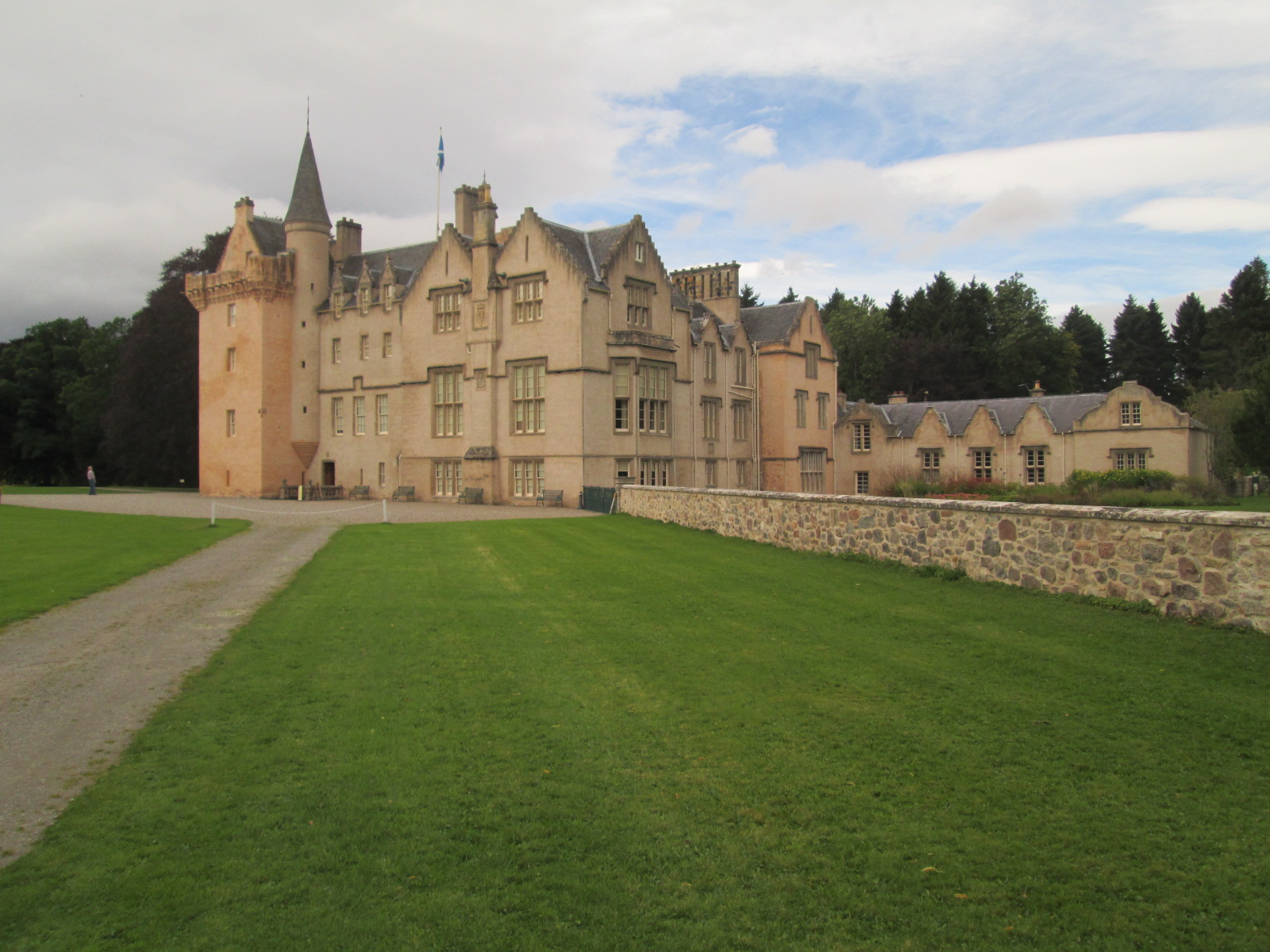
The countryside was pretty impressive. I actually thought I was in France at one point.

Read More Read More

Etrex Garmin GPS to Google Maps

Etrex Garmin GPS to Google Maps

This post describes how to create Google Maps from a GPS devise.

Your Etrex will output two lots of data available from the GPX files.

The two types of data allow you to create.

A Google Map of Waypoints

A Google Map of Tracks

There is a process you need to follow:-

Plug in your GPS unit.

Access Ozi Explorer.

Use the interface to import your waypoints..

A Google Map of Waypoints

1) Ozi Explorer
Get Waypoints from GPS

File > Save Maps to File > Export to GPX – Save to Desktop

2) GPS Visualizer
You’ve got a selection of options.

In order to get them into Google Maps, they have to be in a web accessible format. So choose Google Earth format.

Once your file is uploaded you should be given a link to download your file which looks something like this 1211203282-21568-82.37.19.123.kmz.

Click on it get it to your desktop.

3) Googlemaps
Go to Googlemaps.co.uk

Go to My Maps

On Create New Map > Import > KML File

A Google Map of Tracks

… lifted straight from previous blogs on the subject.

1) Ozi Explorer
From the interface > Get track from GPS

If you’ve done it correctly, you’ll get a tally in the toolbar.

Wait until this has finished.

File > Save Maps to File > Export to GPX – Save to Desktop

2) GPS Visualizer
Again, you’ve got a selection, choose Google Earth and your file will convert to a web-ready format.

From your link, 1211203282-21568-82.37.19.123.kmz, save to desktop.

3) Googlemaps
Go to Googlemaps.co.uk

Go to My Maps

On Create New Map > Import > KML File.

If the file is a large one Maps will split it up over a number of pages.

That’s it! Google plots your waypoints/tracks then zooms to center the map.
It’s as simple as giving your waypoints/tracks some names and you can share this map with the world.

Hardware

Garmin Etrex GPS

Garmin PC interface cable (RS232 serial port connector) – not applicable to Geko 101

666 the number of the beast.

666 the number of the beast.

as iron maiden used to sing.
My fave was the ace of spades ‘gamblin’s for fools, but that’s the way i like it honey..’

Without a spade in sight or an ace. Here’s 6 stories from 6 authors in 6 weeks. It’s called ‘we tell stories’.

It uses a map to illustrate how a story progresses, the narrative being provided by 6 successful UK authors.

* Charles Cumming
* Toby Litt
* Kevin Brooks
* Nicci French
* Matt Mason
* Mohsin Hamid

Each week you can tune in and read a little. The stories are quite long, longer than a coffee break, so if social networking is getting you down, this may be the ideal distraction.

Visit the site here and click through each story until the devil arrives to reprimand your computer and sack you for wasting office time.

Angelina Jolie – Locations of chidren

Angelina Jolie – Locations of chidren

angelina jolies tattoo
Using this photograph of Angelina Jolie’s tattoo, I’ve geolocated each of her spawn.

And this map shows the location of each of Angelina Jolie’s children from the latitude and longitude tattoo’s on her arm.

Bearing in mind one of her children was born in a pond, we can only assume GPS was not experiencing the leaps forward of modern days.
Unless she wants to get them lazered out and corrected, here they are.

Creating Google Maps Icon/Marker/Pushpin

Creating Google Maps Icon/Marker/Pushpin

Simple steps to create your own Google Maps pushpins.

Step 1) Create your image:

  • Ideally width to 32px.
  • PNG-24 fomat.
  • Transparent.
  • Non-aliased.

Step 2) Visit Shadowmaker.

  • Select the icon from your desktop. The program creates a 2D outline of your image.
  • Save the shadow.

If you like it you’re ready to go.

If you don’t like, you can try these stock Icons/Markers/Pushpins.

Google Labs: Google Maps Push Pins
Google Stock Pushpins: Google Maps Stock Icons