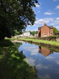
Now in Rugby district of Warwickshire.
Initially tried staying in a previous location close to the Flecknoe station road. There were so many boaters there, and the mobile signal wasn’t that great.
I decided to re-trace my steps a little, which involved turning the boat around.
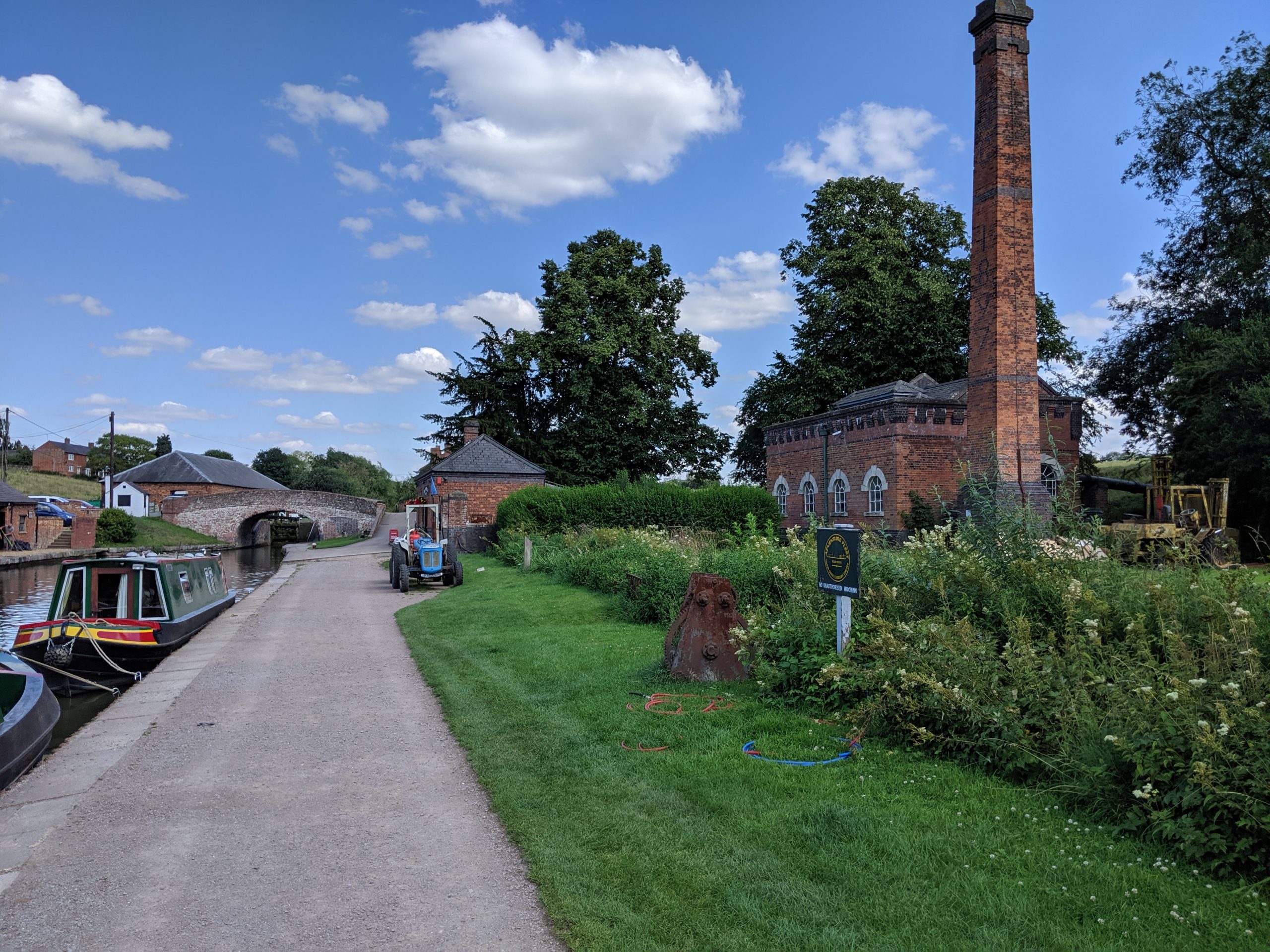
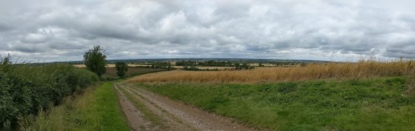
Oxford Canal like the M1
Turning the boat around turned out to be no joke.
The traffic on the Oxford canal is like the M1. Just so many boats, in either direction.
Usually, I can just nip the boat around, no problems, as long as the canal is wide enough.
Unfortunately, it was slightly windy, and that, added to the sheer number of boats moving made it difficult to do anything that wouldn’t involve blocking the canal for the moving traffic.
In the end, I had to go right the way down to Lower Shuckborough, which is about 2 miles away. Then come back.
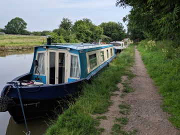
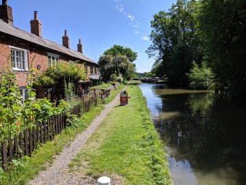
The mobile signal is better here. It doesn’t drop out.
There are fewer other boaters. It’s closer walk to the car.
A bit more out in the wilds. Which suits me better.

Moonlight view over Flecknoe